Titanic collision: the world's largest iceberg hits an island of its own size 🏝️
Follow us on Google News (click on ☆)

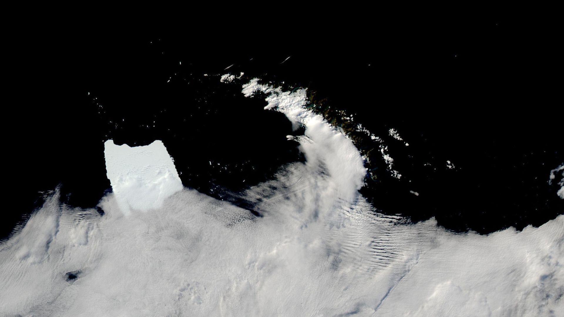
The Antarctic iceberg A-23A, stuck in shallow waters off the coast of South Georgia Island, captured by the MODIS instrument on NASA's Aqua satellite.
Credit: NASA Earth Observatory images by Wanmei Liang, using MODIS data from NASA EOSDIS LANCE and GIBS/Worldview, ocean bathymetry data and digital elevation data from the British Oceanographic Data Center's General Bathymetric Chart of the Oceans (GEBCO) and the British Antarctic Survey
Scientists are closely monitoring the fate of A-23A, wondering whether ocean currents will keep it in place or if it will continue its journey. The impact of its melting on the local ecosystem is also under surveillance.
Since breaking away from the Filchner-Ronne Ice Shelf in 1986, A-23A has traveled over approximately 2000 km (1242 miles). Its journey illustrates the dynamics of icebergs in southern waters, influenced by currents, winds, and temperatures.
The region around South Georgia Island, although devoid of permanent human population, is home to rich biodiversity. The melting of A-23A could alter this ecosystem, particularly the phytoplankton communities, which are the base of the marine food chain. This phenomenon is not isolated, as this region is often the last refuge for icebergs before their disappearance.

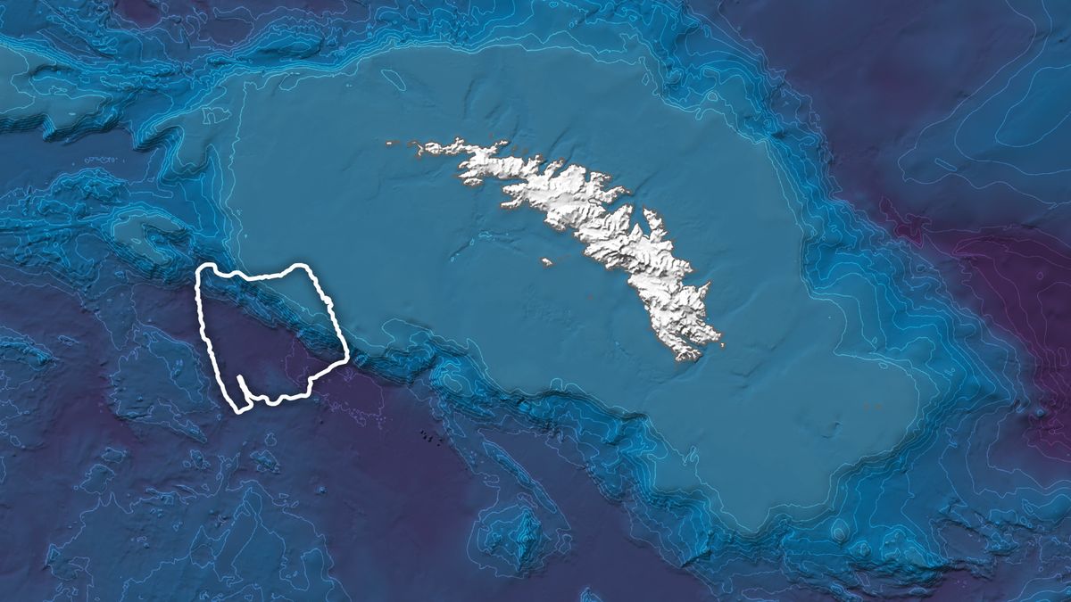
Another view from the MODIS instrument, showing the position of A-23A near South Georgia Island.
Credit: NASA Earth Observatory images by Wanmei Liang, using MODIS data from NASA EOSDIS LANCE and GIBS/Worldview, ocean bathymetry data and digital elevation data from the British Oceanographic Data Center's General Bathymetric Chart of the Oceans (GEBCO) and the British Antarctic Survey
Satellites will continue to monitor A-23A, providing valuable data on its evolution and environmental impact. This monitoring is important for understanding the interactions between icebergs and marine ecosystems.
How do icebergs influence marine ecosystems?
As icebergs melt, they release fresh water and nutrients into the ocean. This process can alter the salinity of the water and stimulate the growth of phytoplankton, the base of the marine food chain.
The impact on local ecosystems can be significant, especially in areas like South Georgia Island, where biodiversity is rich. Changes in water composition can affect marine species, from the smallest to the largest.
Moreover, icebergs can transport minerals and sediments from Antarctica, enriching the surrounding waters. This input can promote biological diversity but also disrupt existing habitats.

Image from NOAA-20, NOAA-21, and S-NPP satellites showing iceberg A-23A drifting eastward in the Southern Ocean in December 2024.
Credit: NOAA CIRA
Satellite monitoring allows tracking these changes and anticipating their impacts on marine ecosystems, providing valuable information for conservation.
What is the role of satellites in the study of icebergs?
Satellites play a crucial role in observing and studying icebergs. They provide images and data that allow tracking their movement, size, and melting.
Thanks to instruments like MODIS, scientists can observe icebergs in near real-time, even in the most remote regions. This data is essential for understanding the dynamics of icebergs and their impacts on the environment.
Satellites also allow monitoring climate changes by observing the melting of icebergs and ice sheets. This information is crucial for climate models and environmental forecasts.
Finally, satellite technology helps prevent navigation risks by identifying icebergs that could pose a danger to ships.