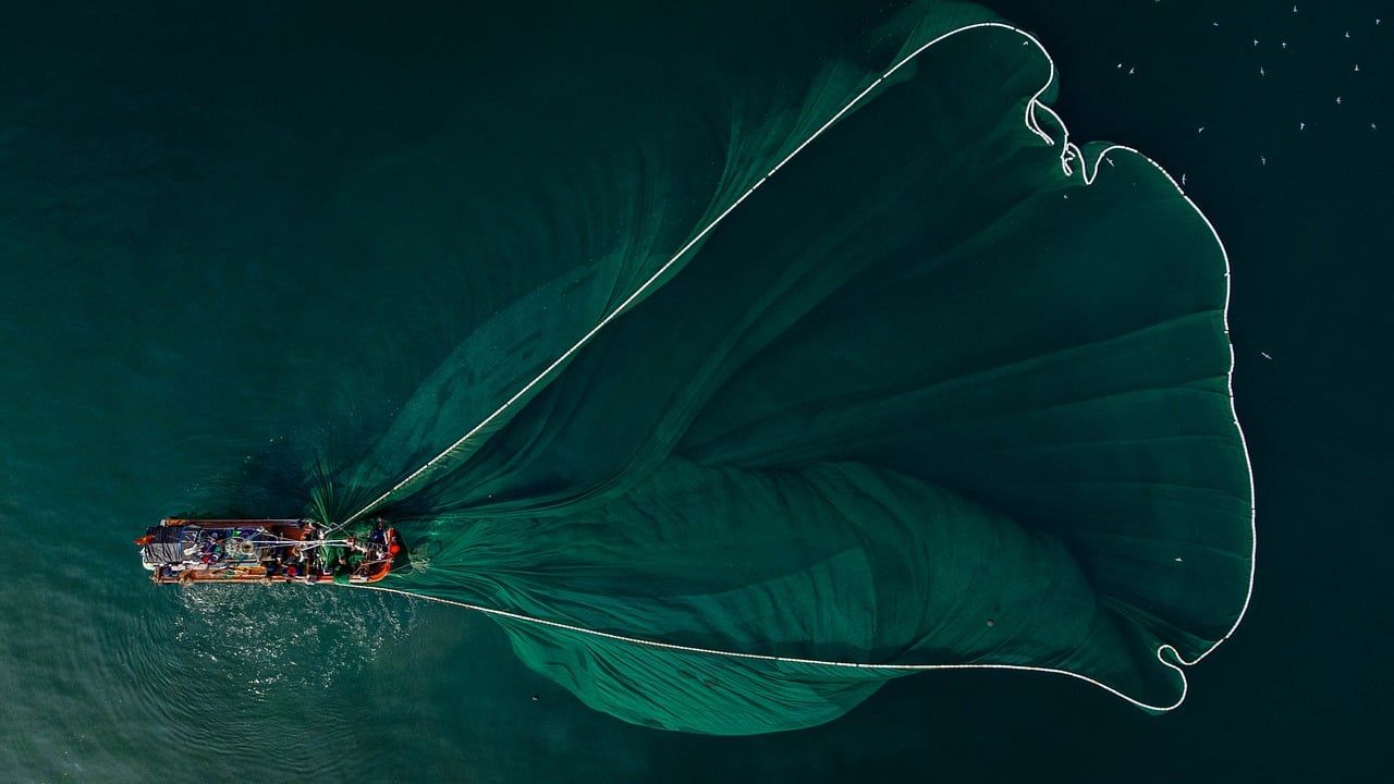
How do fishermen know where the fish are?
Published by Adrien,
Source: The Conversation under Creative Commons license
Other Languages: FR, DE, ES, PT
Source: The Conversation under Creative Commons license
Other Languages: FR, DE, ES, PT
Follow us on Google News (click on ☆)
Fishing requires knowing where the fish are. The differences in knowledge and practices among fishermen explain why the catches brought back to port on the same day by various boats differ (both in quality and in quantity). The acquisition of this knowledge has changed over time.
While oral tradition played an essential role for millennia, new technologies and electronics, which are the pillars of modern, especially industrial fishing, now allow knowledge of the geographic location, depth, and season of fishing for the targeted species.

Illustrative image by Pixabay
Before the modern satellite positioning tool (GPS), areas of concentrated fish around rocks, in underwater meadows, or near a shipwreck close to the coast were identified using landmarks—distinctive points on land visible at a reasonable distance up to 10 miles (about 18.5 km) at sea, such as a church steeple, a tower, an antenna, or simply a summit.
It was essential to find three landmarks, have a compass to map them relative to the desired point located by triangulation. There are numerous such sites along the coasts, passed down through family discussions or among fishermen.
For the past fifty years, these seabed discontinuities capable of concentrating fish and crustaceans that hide or feed there have been located with a sounder. The precise latitude and longitude are given by the GPS and meticulously recorded on a map or logbook. Boatsmen and professional fishermen now have this equipment.
Offshore, spotting fish requires expert observation of the water's surface or a few meters in the air above it. Navigators and fishermen have always used naked eyes or more often binoculars or telescopes to spot the silvery reflections indicating a school of small pelagic fish (sardines, anchovies), and splashing or bubbling for schools of bonito, yellowfin tuna, or bluefin tuna. A whale or dolphin blow will signal prey presence around which predators sought by fishermen may gather.
Active groups of diving birds hunting will locate a tuna school. These bird groups are crucial for purse seine tuna fishing and can be detected at distances over thirty miles (fifty kilometers) using dedicated radars.
As the boat nears the birds, the sonar will be activated to check if the fish are commercially viable, estimate the quantity, and observe the size of the school, both diameter and height. For a decade, information on fish quantities associated with Fish Aggregating Devices (FADs) measured by sounders is directly sent to boats, optimizing their fishing strategy.
Since the 1990s, oceanographers, ecologists, and biologists have conducted multidisciplinary research studies to describe the habitat and behavior of exploited marine resources using satellite tags on fish, as well as in situ and satellite observations to measure sea surface temperature, phytoplankton richness, and current speeds and directions.
The products of these researches, such as satellite maps or high-definition fish distribution models, have been utilized by service companies now offering fishing aids. Electronic and computer-based technologies have definitively replaced the compass and oral tradition as knowledge vectors. These technologies have also greatly increased fishing aids, allowing all fishermen to know where the fish are.
Progress has led to an incredible increase in fishing efficiency, which managers struggle to control, resulting in what is known as overfishing. This overfishing has negative impacts not only on the targeted species but also on bycatch species that are discarded either alive or dead, as well as on ecosystems.