81 billion cubic meters: a colossal water reserve discovered beneath these volcanoes 💧
Published by Cédric,
Article author: Cédric DEPOND
Source: Proceedings of the National Academy of Sciences
Other Languages: FR, DE, ES, PT
Article author: Cédric DEPOND
Source: Proceedings of the National Academy of Sciences
Other Languages: FR, DE, ES, PT
Follow us on Google News (click on ☆)
Researchers from the University of Oregon have uncovered a giant aquifer, hidden beneath the volcanic rocks of the Cascades. This discovery, published in the Proceedings of the National Academy of Sciences, opens new perspectives on water resource management in a region facing recurrent droughts.

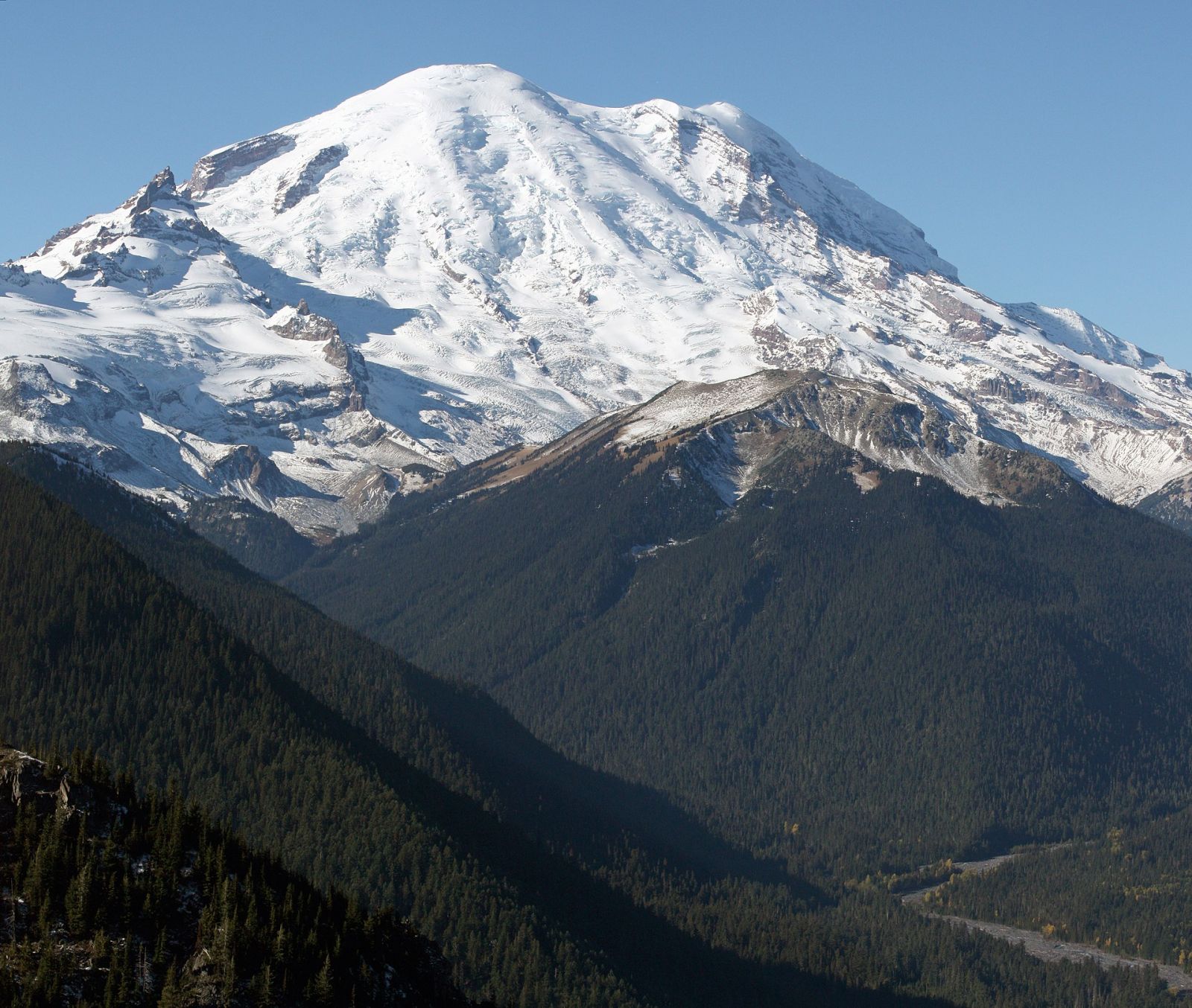
View of Mount Rainier from the northeast.
Image Wikimedia
A water reserve of impressive proportions
The discovered aquifer contains nearly three times the capacity of Lake Mead, the largest artificial reservoir in the United States. This water, stored at more than one kilometer (0.62 miles) deep, flows through cracks in the volcanic rocks. Scientists used drilling data from the 1980s to map this resource.
However, this reserve is not infinite. Its recharge depends mainly on snow, a resource threatened by global warming. Future precipitation, in the form of rain rather than snow, could affect the sustainability of this aquifer.
A landscape shaped by water and fire
The Cascade Range, formed by millions of years of volcanic activity, is home to diverse landscapes. Researchers have studied how water interacts with these volcanic rocks, influencing both ecosystems and geological risks.
Water that infiltrates deep underground can have a significant impact on volcanic activity. When it comes into contact with magma, it turns into steam, increasing pressure and potentially triggering violent eruptions. This interaction between water and magma underscores the importance of studying the relationships between hydrological systems and volcanic processes.
A discovery thanks to old data
Scientists utilized drillings from the 1980s and 1990s, initially intended for geothermal energy research. By analyzing rock temperatures at different depths, they identified areas where infiltrated water cooled the rocks deep underground.
This method allowed them to map the extent of the aquifer. Although the drillings do not cover the entire region, they provided a minimum estimate of the size of this water reserve, revealing its unsuspected magnitude.
An uncertain future for this precious resource
Although this water reserve is a boon for the region, its use requires careful management. Scientists emphasize the need for further studies to assess its resilience to climate change.
The projected decrease in snowpack and the increase in droughts could compromise the recharge of the aquifer. A series of dry winters would be enough to jeopardize this resource, despite its impressive volume.